Antwerp Launches Freight Route Planner to Improve Urban Logistics Convenience and Safety
Antwerp’s Freight Route Planner in action. (Source: Frederik Beyens)
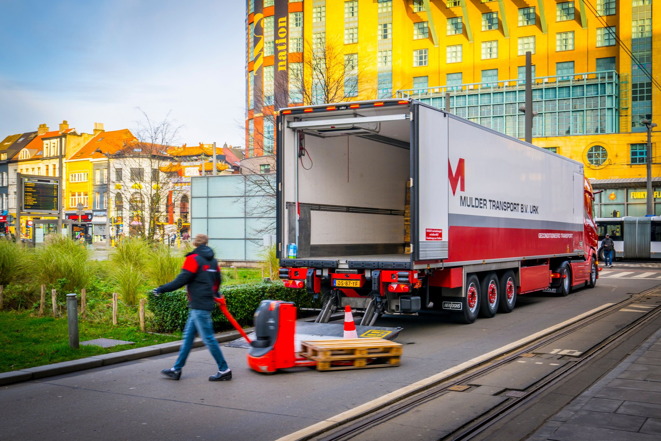
As part of the European SCALE-UP project, the city of Antwerp has developed and launched a freight route planner to guide trucks through urban areas more safely and efficiently. The tool, created in collaboration with Be-Mobile and the Antwerp Transport Region, is designed to reduce traffic risks and stress for freight drivers navigating the complex last mile in city environments.
Smart routing based on key parameters
The freight route planner uses several key parameters to generate more convenient and safer routes, such as road categorisation, bridges and tunnels, pedestrian zones, school areas, and sharp turns. By prioritising high-category roads and avoiding vulnerable zones such as school areas and narrow streets as much as possible, the planner helps drivers reach their destinations with fewer conflicts and delays.
The first version of the tool was tested in 2022, followed by a second round in 2023. The feedback was very valuable. Testers confirmed that the tool effectively avoided certain zones and promoted preferred freight corridors. However, challenges such as sharp turns and the lack of delivery window integration were noted and addressed in subsequent updates.
While initial testing faced hurdles in recruitment and data availability, the project has sparked strong interest from logistics stakeholders and other cities, including Madrid and Turku.
Integration into Smart ways to Antwerp
To ensure long-term impact, the freight route planner is integrated into the existing Smart ways to Antwerp platform and route planner, with a dedicated logistics layer.
To further support efficient route planning, available logistics data is also integrated into the existing interactive mobility map. This provides users with a clear overview of relevant freight-related information before they begin their journey. The map now includes, for example, loading and unloading zones, height of tunnels and bridges, school streets, and restricted access areas, helping drivers and planners make well-informed decisions. By offering this data upfront, the tool enhances both the practicality and safety of freight transport in and around the city. Combined with all other data layers in the interactive map, it offers a comprehensive view of mobility in Antwerp.
A digital step forward for urban freight
The freight route planner and interactive mobility map demonstrate how targeted digital tools can enhance urban freight safety and efficiency, provided that high-quality, up-to-date data is available and stakeholder engagement is strong.